Registered Point Cloud Survey UK – London-Based 3D Laser Scanning Experts
Capture Reality with Unmatched Precision
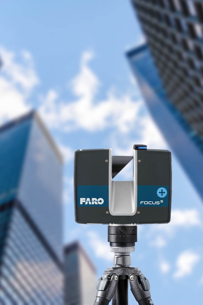
At LL3Dsurvey, we offer comprehensive Registered Point Cloud Survey services throughout the UK, with a primary focus on projects in London and surrounding areas. Our expert team uses state-of-the-art 3D laser scanning equipment to capture millions of accurate spatial data points, producing high-density point clouds that reflect real-world site conditions in incredible detail.
Each point cloud is fully registered—meaning multiple scans from different positions are precisely aligned and merged into a single, unified dataset. This process ensures your project benefits from complete, measurable spatial data that can be seamlessly integrated with CAD, Revit, and BIM environments. Whether you’re managing new builds, renovations, heritage documentation, or infrastructure development, our surveys help reduce risks, minimize design errors, and speed up the decision-making process.
We understand the importance of delivering reliable and actionable data. That’s why every point cloud we produce is geo-referenced to your project’s coordinate system and tailored to your specific requirements, including floor plans, elevations, and 3D models when needed.
LL3Dsurvey is trusted by architects, engineers, developers, and contractors who need dependable, professional surveying solutions in London and across the UK.
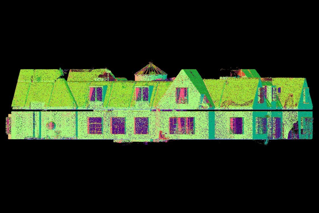
What is a Registered Point Cloud?
A Registered Point Cloud is a detailed and accurate 3D representation of a physical space or structure, created by merging multiple scans taken from different viewpoints using laser scanning technology. Each scan produces a “point cloud” — a dense collection of spatial data points that capture the geometry and surface features of buildings, landscapes, or objects. The “registration” process involves aligning and stitching these scans together within a unified coordinate system, so the entire dataset accurately reflects real-world dimensions.
This registered dataset is essential for professionals in construction, architecture, civil engineering, and heritage preservation, as it enables precise measurement, modeling, clash detection, and spatial analysis. By working with a registered point cloud, project teams can reduce manual errors, save time during the design and planning phases, and ensure better collaboration between stakeholders. The data is typically exported in formats compatible with industry-standard tools like AutoCAD, Revit, or Navisworks for use in BIM (Building Information Modeling) and other digital workflows.
At LL3Dsurvey, we provide fully registered and geo-referenced point clouds across the UK — with a focus on London-based projects — ensuring our clients receive highly accurate, scalable data tailored to their project needs.
Registered Point Cloud Survey UK
Benefits of Registered Point Cloud
High-Resolution Data
Capture intricate details with millions of data points per second, providing an unparalleled level of detail and accuracy.
Accurate Modeling
Use the point cloud data to create precise 3D models, essential for planning, design, and construction verification.
Reduced Errors
Minimize errors and rework with exact measurements and detailed documentation, ensuring that all project elements fit together seamlessly.
Efficient Workflow
Save time and resources by capturing comprehensive data in one go, reducing the need for repeated site visits.
Enhanced Visualization
Visualize the entire project site in 3D, making it easier to identify potential issues and make informed decisions.
Registered Point Cloud Survey UK
Applications of Registered Point Cloud
Construction and Engineering
Document as-built conditions, verify construction progress, and detect potential clashes early in the process.
Architecture and Preservation
Preserve historical structures with detailed 3D documentation, aiding in restoration and renovation projects.
Manufacturing and Design
Use precise 3D data for reverse engineering, quality control, and creating accurate models for product development.
Facility Management
Visualize and manage existing infrastructure, plan maintenance activities, and optimize space usage with detailed 3D data.
Ready to Elevate Your Project with Precision?
Contact us today to learn how our advanced 3D laser scanning services can benefit your next project.
Our Process
Initial Consultation
We work closely with you to understand your project needs and objectives.
On-Site Scanning
Our team uses advanced 3D laser scanners to capture high-resolution data of your site or structure.
Data Registration
We meticulously align and merge multiple scans to create a cohesive and accurate point cloud.
Data Delivery
The registered point cloud is delivered in your preferred format, ready for use in various applications such as CAD, BIM, and more.