3D Laser Scanning Services | Registered Point Cloud Survey UK
Professional 3D laser scanning services, Registered Point Cloud Survey UK. We deliver accurate, registered point cloud surveys for construction, architecture, and engineering projects.
Unmatched Accuracy
Capture millions of data points per second for unparalleled precision.
Efficient Data Collection
Reduce time and site visits with comprehensive scans in a single go.
Cost Savings
Minimize rework and errors with precise initial data.
About Us
Welcome to LL3Dsurvey, where cutting-edge technology meets industry expertise. Based in London, we are a leading provider of 3D laser scanning services, dedicated to transforming real-world data into precise digital models. Our mission is to empower businesses across various sectors with accurate, reliable, and detailed data that enhances decision-making, improves efficiency, and drives project success.
Registered Point Cloud Survey UK
Registered Point Cloud Survey UK
Our Services
At LL3Dsurvey, we offer cutting-edge 3D laser scanning services tailored to meet the needs of various industries. Our expertise ensures precise data capture and detailed models, providing valuable insights for your projects. Explore our comprehensive range of services designed to enhance accuracy, efficiency, and project success.
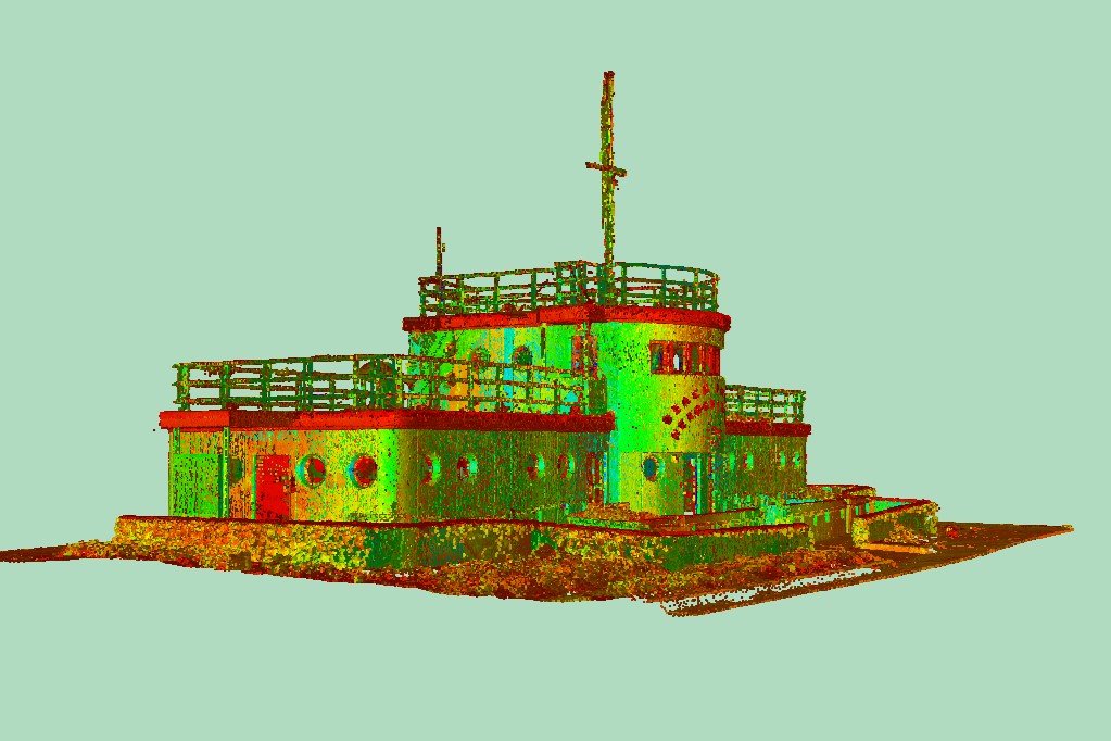
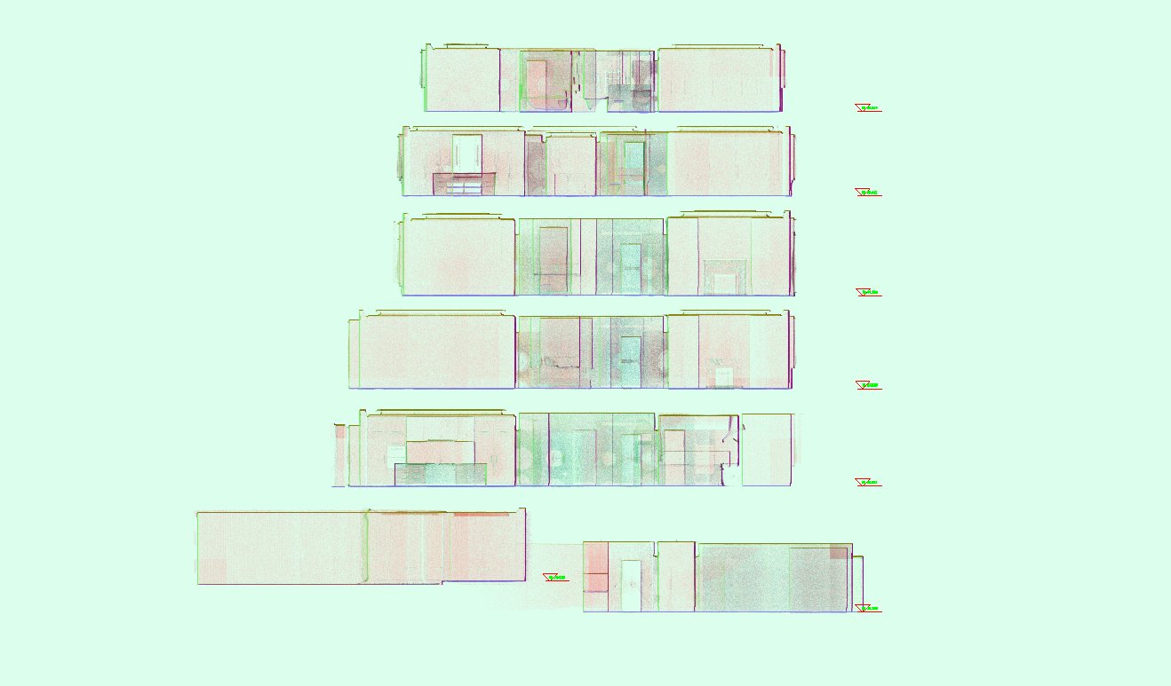
Registered Point Cloud Survey
Capture reality with precision using our Registered Point Cloud service. We meticulously document existing conditions with high-resolution 3D data, ensuring accurate representation for your projects. From construction verification to facility management, our point clouds provide the foundation for informed decision-making and seamless execution.
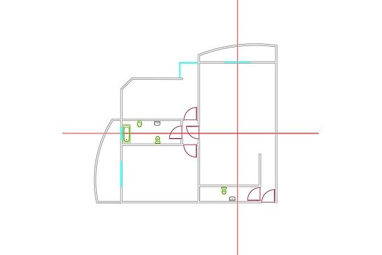
2D CAD Drawings
Transforming 3D data into precise 2D documentation, our 2D CAD Drawings service offers detailed plans and drawings essential for design, permitting, and construction. With accuracy at the forefront, we deliver clear and comprehensive drawings tailored to your project needs, streamlining workflows and facilitating effective communication.
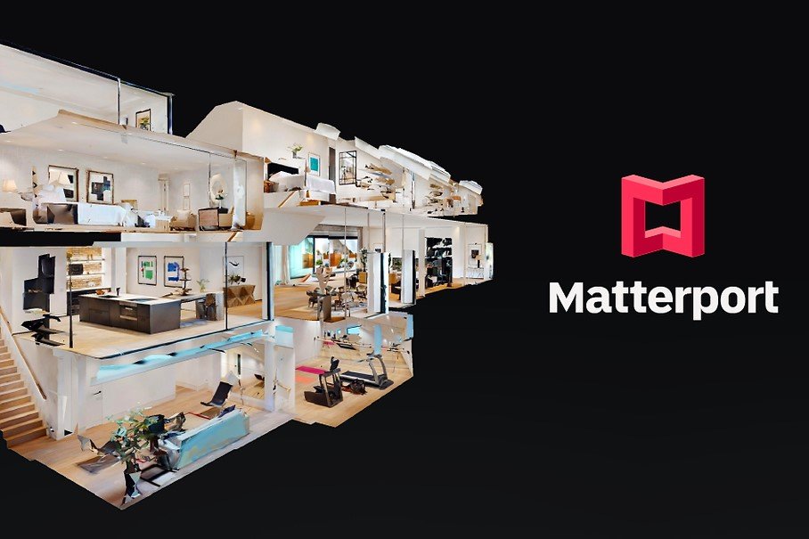
Matterport Model
Immerse yourself in interactive virtual tours with our Matterport Model service. Utilizing advanced Matterport technology, we create detailed and immersive models that bring your spaces to life. From real estate marketing to architectural visualization, our Matterport models offer a captivating way to explore and showcase your properties and projects.
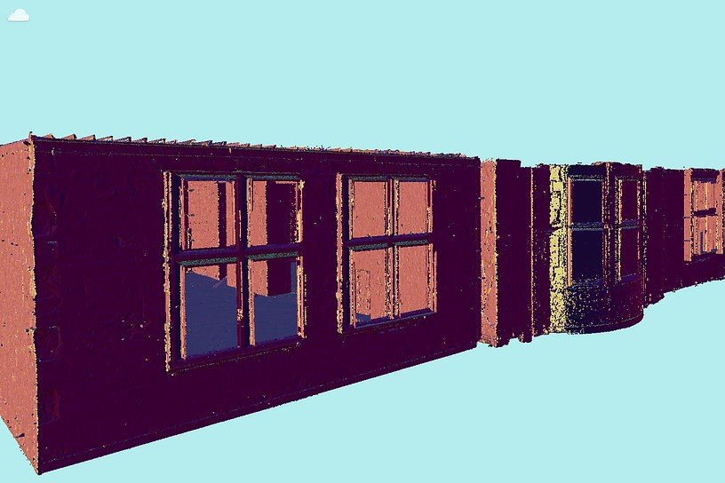
Registration of Scans
Combine multiple scans into a cohesive model with our Registration of Scans service. Whether documenting large-scale construction projects or historical landmarks, we align and merge scans to create a unified point cloud, providing a comprehensive view of your site. Experience enhanced analysis, collaboration, and project management with our seamless registration process.
Ready to Elevate Your Project with Precision?
Contact us today to learn how our advanced 3D laser scanning services can benefit your next project.
Registered Point Cloud Survey UK
Why Choose LL3Dsurvey?
Expertise and Innovation
At LL3Dsurvey, we combine cutting-edge technology with industry expertise to deliver high-quality 3D laser scanning services. Our team is dedicated to providing accurate, efficient, and cost-effective solutions tailored to your specific needs.
Customized Solutions
Registered Point Cloud Survey UK. Every project is unique, and so are our solutions. We work closely with our clients to understand their requirements and deliver customized 3D models, CAD drawings, and other deliverables that exceed expectations.
Comprehensive Support
From initial consultation to final deliverables, we offer full support throughout your project. Our commitment to excellence ensures that you receive the best service and results every step of the way.
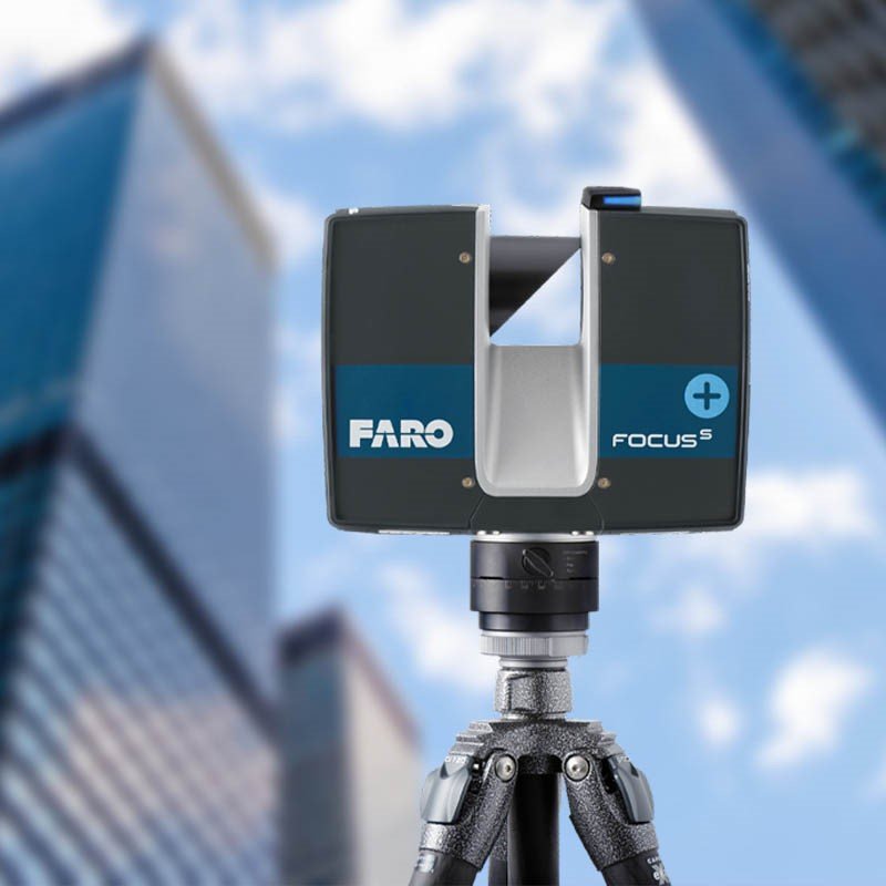
Registered Point Cloud Survey UK
What is 3D Laser Scanning Used For?
3D laser scanning and Registered Point Cloud Survey captures real-world information for various applications:
Construction and Engineering:
- As-built surveys: Document existing conditions for renovations and historical preservation.
- Construction verification: Monitor progress and ensure adherence to plans
- Sequencing and scheduling: Optimize construction workflows.
- Design engineering: Create detailed models for upgrades and new builds.
- Prefabrication: Generate precise measurements for off-site fabrication.
- Clash detection: Identify potential interferences before construction begins.
Other Applications:
- Architecture and Archaeology: Document historical sites and create virtual tours.
- Manufacturing and Product Design: Reverse engineer and create accurate 3D models.
- Geospatial Data Collection: Map terrain and infrastructure accurately.
- Virtual Design and Construction (VDC): Collaborate and plan with immersive 3D models.
- Facility Coordination: Visualize existing infrastructure for maintenance and planning.
- Digital Twins: Create virtual replicas for real-time monitoring and predictive maintenance.
Registered Point Cloud Survey UK
Benefits of 3D Laser Scanning
Accuracy and Efficiency:
- Unmatched precision: Capture data with high accuracy to minimize errors and rework.
- Faster data collection: Reduce time needed to capture complex details.
- Reduced site visits: Comprehensive data capture in one go.
Enhanced Project Management:
- Improved decision-making: Clear visualization for better planning and risk assessment.
- Clash detection: Early conflict identification to avoid costly rework.
- Optimized workflows: Streamlined processes for efficient project execution.
Cost Savings and Increased ROI:
- Reduced rework and errors: Accurate data minimizes miscalculations.
- Improved quality control: Ensure components fit seamlessly.
- Enhanced facility management: Efficient space planning and resource allocation.
Additional Benefits:
- Improved safety: Avoid hazardous manual measurements.
- Preservation of historical sites: Document cultural heritage accurately.
- Accessibility for the visually impaired: Create tactile models and visualizations.
Registered Point Cloud Survey UK
Processing 3D Laser Scanning Data
3D laser scanning captures a large volume of 3D survey points known as point clouds. These points are processed into various formats for use in AutoCAD Plant 3D, Navisworks, Bentley MicroStation, Revit, AutoCAD MEP, and more. Point cloud deliverables include file formats such as Leica (.pts, .ptx, .ptg) and Autodesk Recap (.rcs, .rcp, .e57). Additional services include 2D site plans and 3D BIM models, complemented by Leica TruViews and full-color photographs.
How much does 3D laser scanning cost?
Customized quotes are developed based on the scope and deliverables of each project. Contact us at 07438924534 or email info@ll3Dsurvey.com for your personalized quote.
Registered Point Cloud Survey UK
Contact Us
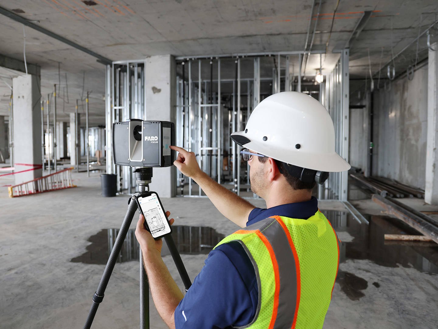
We’re here to assist you with all your 3D laser scanning needs. Reach out to us for inquiries, quotes, or more information about our services.
